While the recent hot weather is nowhere near historic or unprecedented for western Kentucky, it is the result of what meteorologists call a ‘heat dome’ where high pressure parks in a large area stifling prolonged patterns of rain and cooler weather. It’s similar to putting a lid on a pot that’s cooking on the stove.
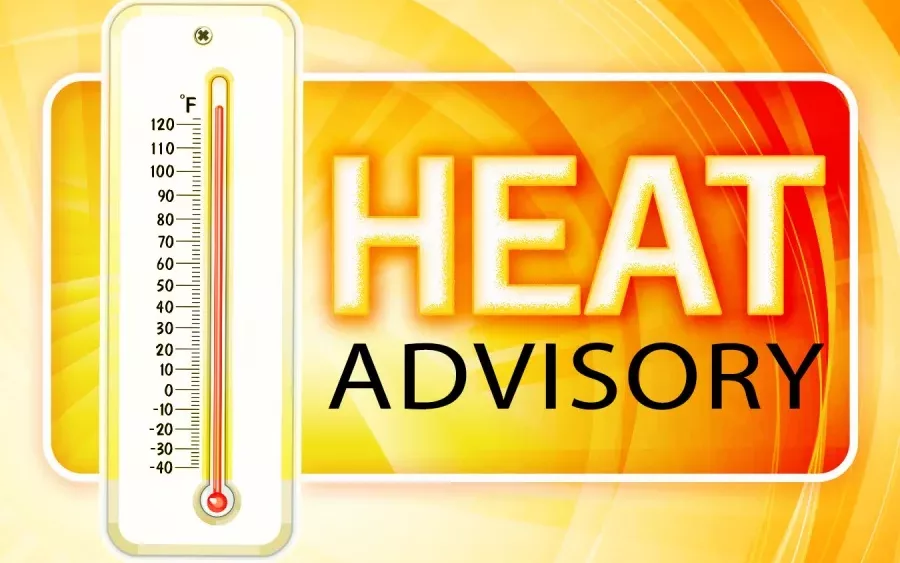
A heat advisory has been in effect for western Kentucky this week as temperatures have stayed in the mid-90s with heat index readings in the triple digits every day since last Saturday. On Tuesday, the Mesonet site recorded a peak heat index of 108 degrees.
Christine Wielgos, the warning coordination meteorologist for the National Weather Service, says the ‘heat dome’ has been at the forefront this week.
click to download audioThis week’s heat advisory mirrors one for the same week of June last year, when another 108-degree heat index reading was recorded in the final week before July.
Forecasters are calling for rain this weekend, which Wielgos says should bring some relief and possibly break apart the heat dome.
click to download audioForecasters are calling for a 60% chance of rain on Saturday and Sunday, with more rain and highs in the 80s to begin next week.
As far as this month is concerned, the average temperature has been 75 degrees, the same as June of last year, but well below 2018, when the average temperature was 77.6 degrees. That month saw 11 days above 90 degrees compared to just four this month — all in the last week.