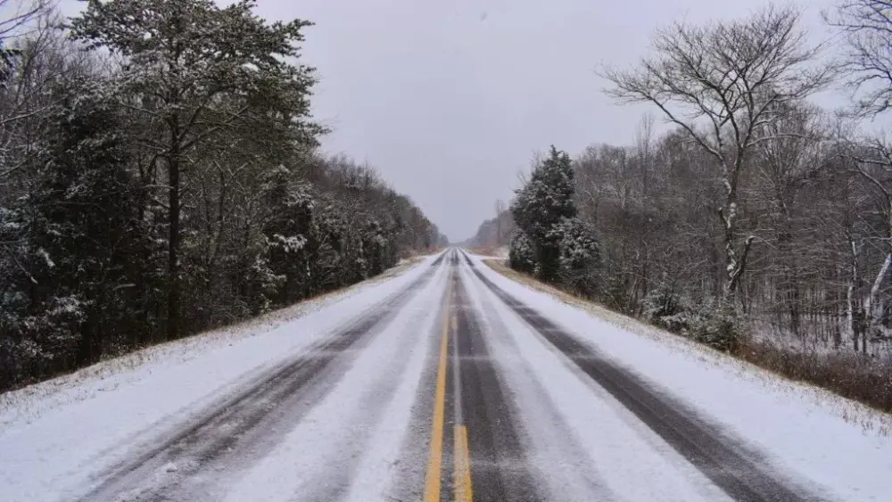
A Winter Storm Warning remains in effect for all of western Kentucky, taking effect tonight at 6:00 and continuing through Sunday night.
The National Weather Service has indicated the system has shifted north over the past 24 hours, meaning the heaviest snow will be along and north of the Ohio River, and north of Madisonville.
National Weather Service Warning Coordination Meteorologist Christine Wielgos says snow is expected all day Saturday, before areas south of the Ohio River switch to sleet and ice late Saturday night into Sunday.
click to download audioShe says models differ on where the line is, which will determine whether it’s snow or ice Saturday night.
click to download audioBecause the exact line continues to shift, Wielgos says the snowfall amounts do too.
click to download audioOn Friday, forecasters gave a 65% chance of 8 or more inches of snow in the southern Pennyrile region. That has now been downgraded to 46% as the area of sleet and freezing rain has grown larger to include most of western Kentucky.
A cold weather advisory will also take effect tonight at 6:00 and continue through 6:00 Sunday night, with temperatures expected in the single digits at night this weekend, with wind chills below zero Sunday night and Monday night.